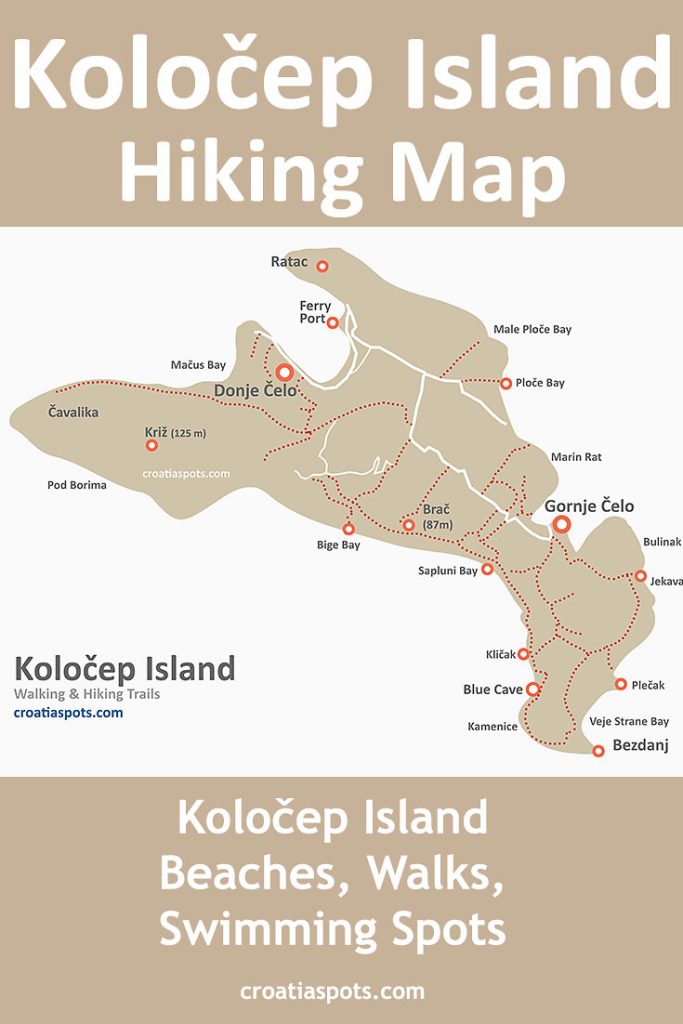
Map of Kolocep walking/hiking trails, bays, beaches and swimming spots
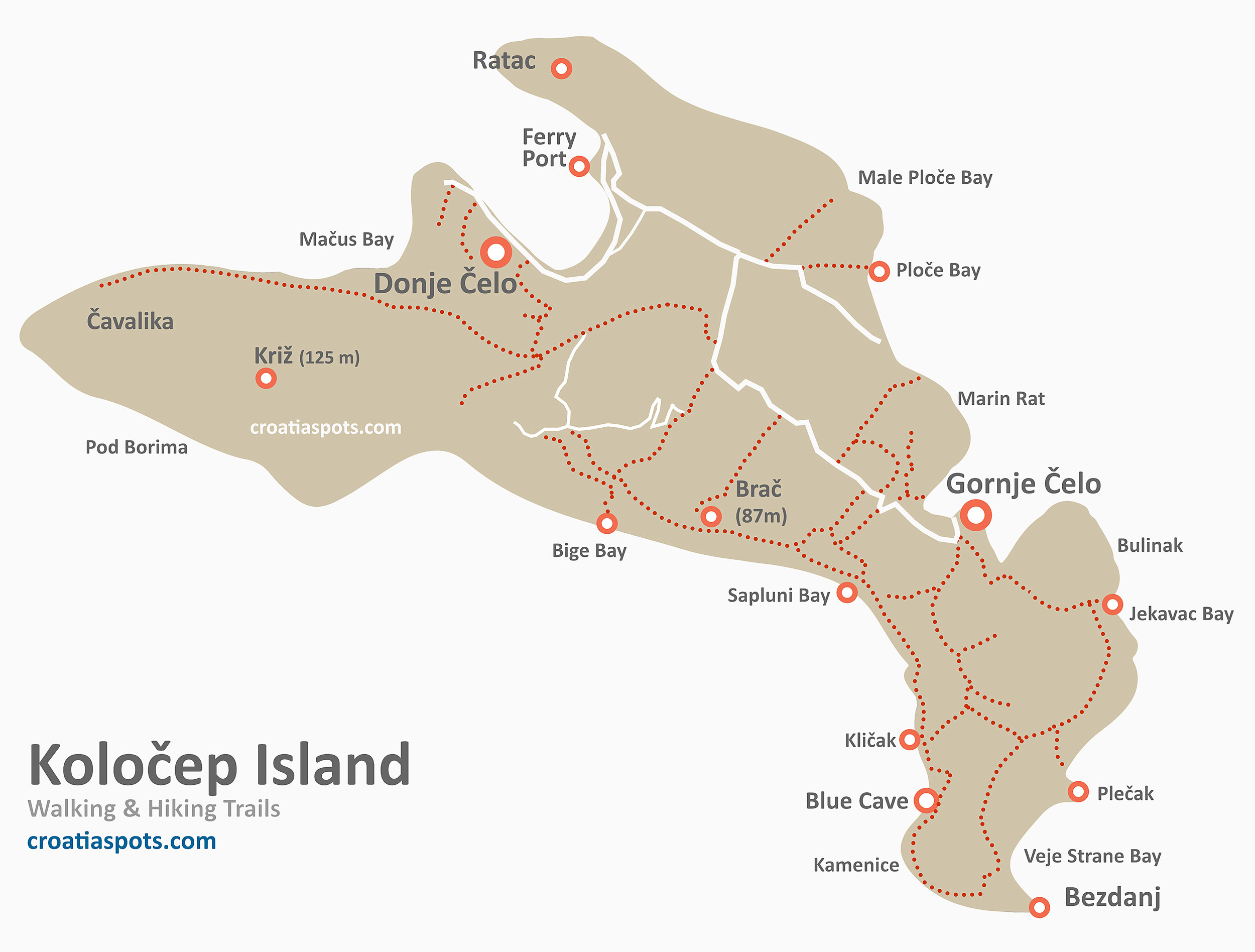
This Map of Kolocep island, Elafiti archipelago near Dubrovnik shows details of walking & hiking trails, location of numerous bays and swimming spots, including the highest peak on the island – Kriz (125m), location of popular Blue Cave, Bezdanj, Ratac, Uvala Bige and Sapluni bay and other points of interest. Click on the map to see a large version, right-click, and save.
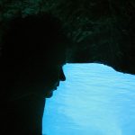
Blue Cave Location @ Kolocep
Location of the Blue Cave is on the south-west coast of the island (see the low part of the map); GPS coordinates: 42°39’48.8″N 18°00’58.8″E (see it on Google maps)
Find out more about Kolocep’s neighbouring Sipan (map) and Lopud (map) in the Elafiti Archipelago and see other maps of Croatian Islands