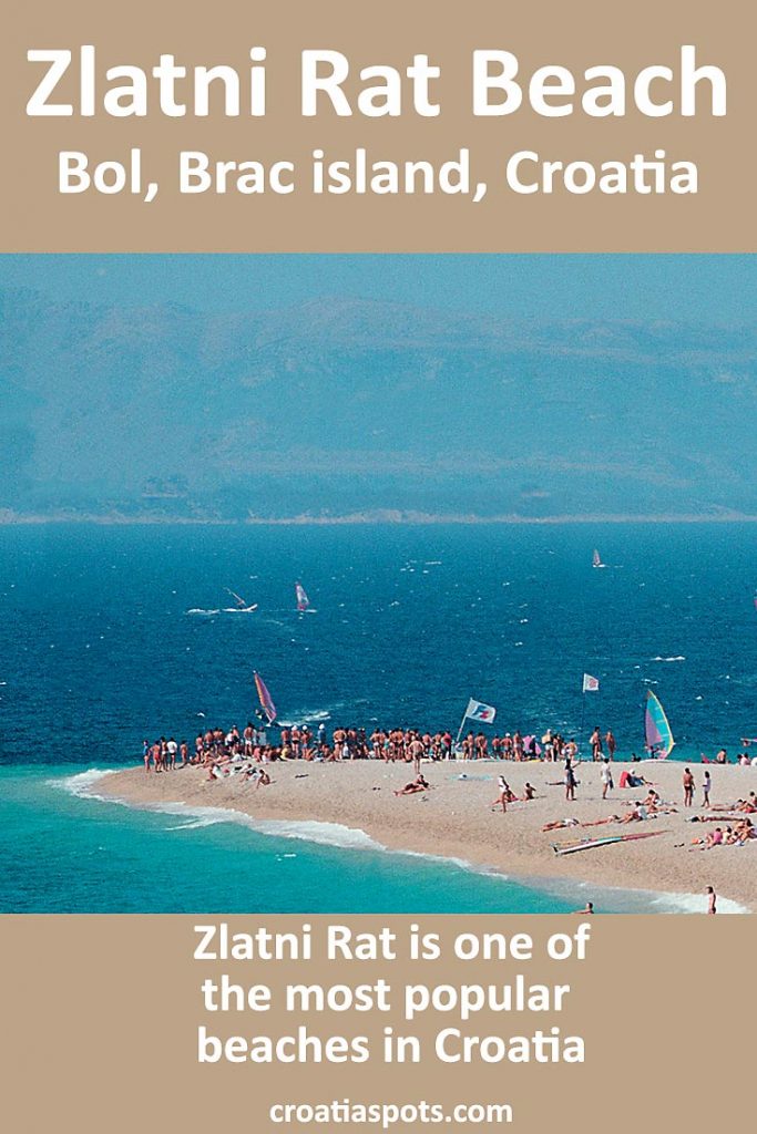
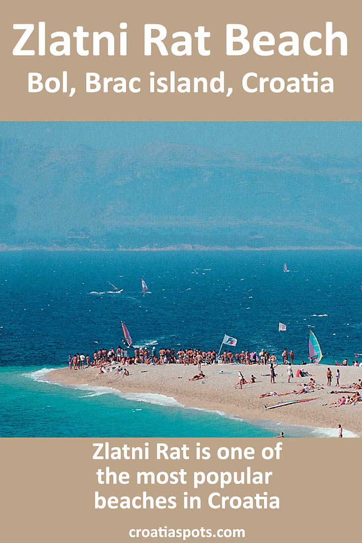
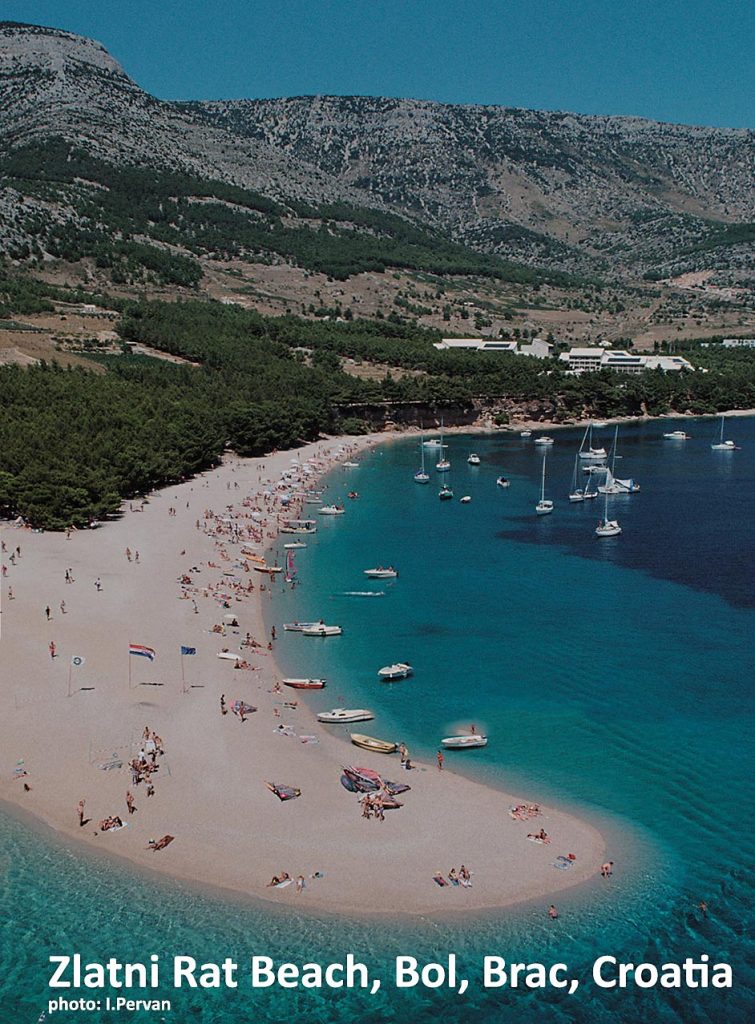
Zlatni Rat Beach, meaning Golden Cape or Golden Horn, is situated in the middle of the southern coast of Brac Island. It is indeed one of the most beautiful and most popular beaches in the country. Its unique and unusual triangle shape with a long pebbly tip that stretches out to the sea is a well-known iconic image of the Croatian summer holidays.
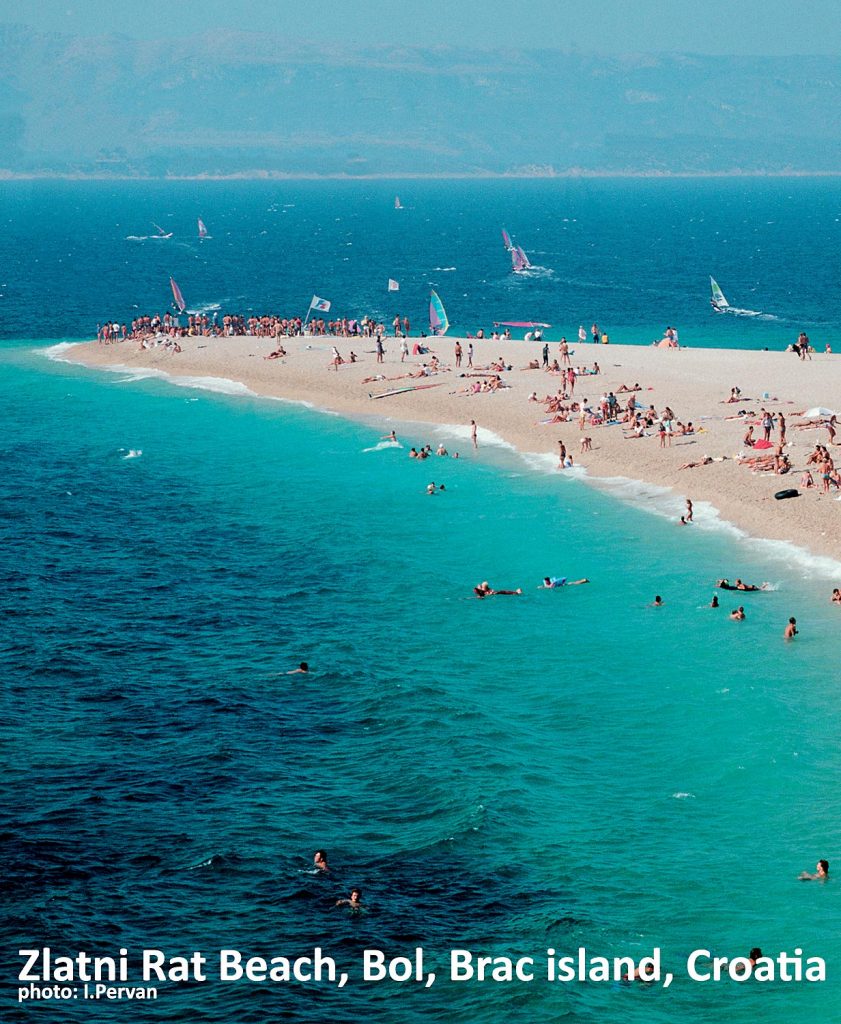
Table of Contents
How to spot the beach
When approaching the beach from the road that leads to Bol village, you can easily spot this yellow and golden triangle surrounded by tall dark green pine trees on one side and the turquoise colour of the waters on the other two sides.
If you arrive here on a sunny day, the colours are completely different than on the overcast or cloudy day when the triangle somehow melts with the grey, metallic surroundings.
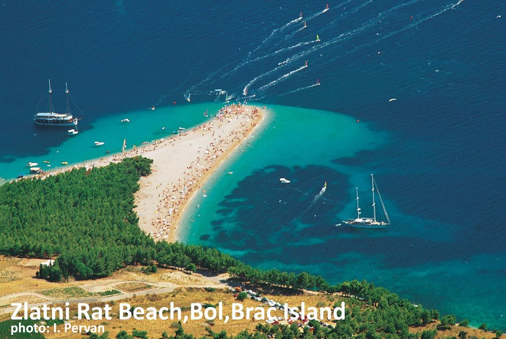
When approached from the sea, the beach is also distinctive in the landscape and can be seen from far away (see below photo).
Zlatni Rat which stretches about 600 meters (1/2 mile approx) is bordered by old pine trees and backed further up by the Vidova Gora, the highest mountain on Brac island. If you hike there (which is a must if you are into hiking!) you can enjoy the breathtaking views of the beach and surrounding islands (see the below photo)
The shape of Zlatni Rat beach
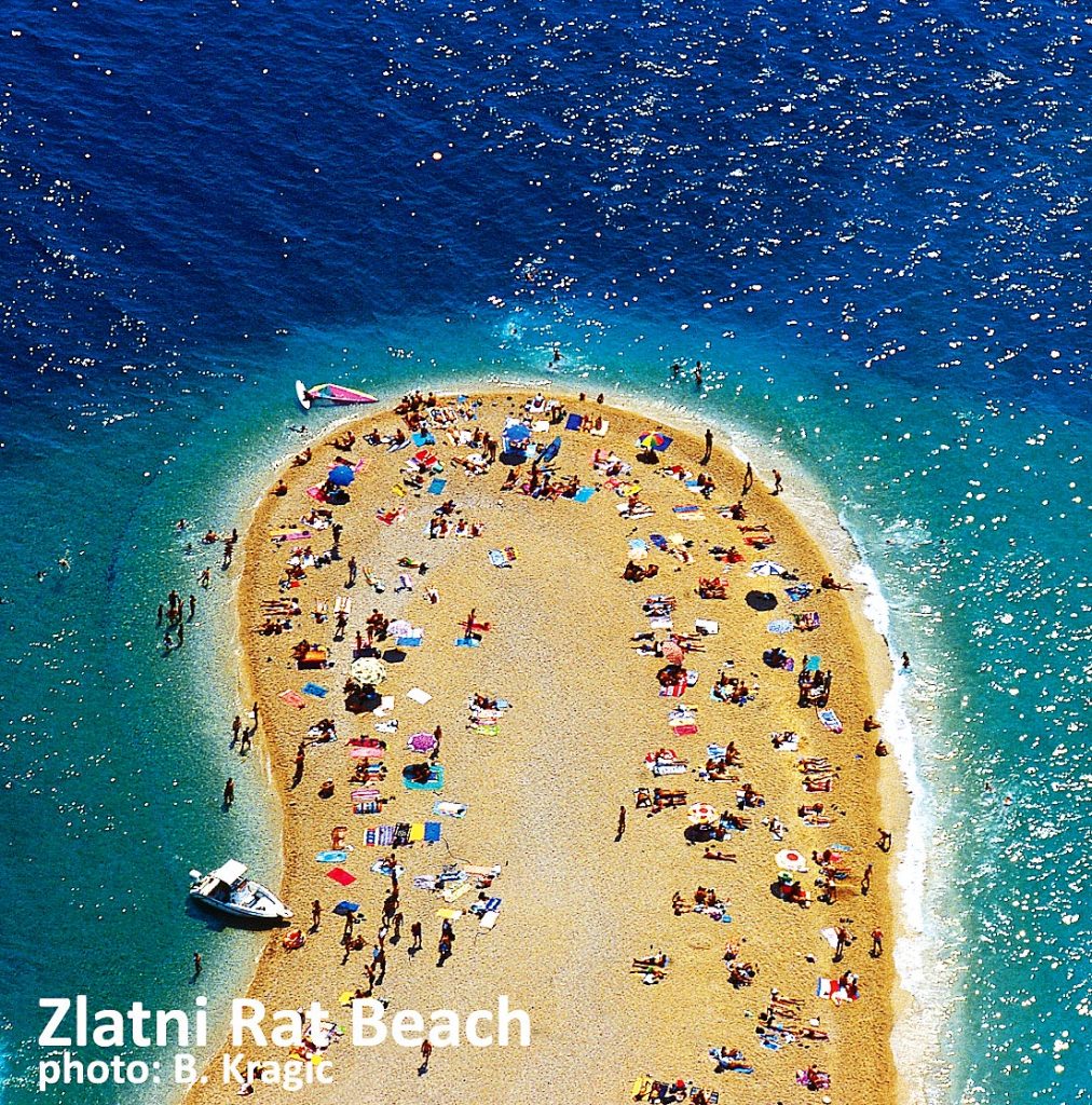
The distinctive triangular shape of the beach is mainly formed by two opposite sea currents that are meeting in this place, each pushing in a different direction.
The winds, mostly Maestral (north-west), Bura (north-east) and Siloko (south-east) also added to the shape of the beach as well as the current tides. Depending on the current winds, the beach slightly changes its shape particularly the top tip of the triangle that tends to move towards the east or west.
In the above photo, which was taken in the summer when north-west Maestral blows daily, the top tip is slightly moved to the east. In the winter months when south-east Siloko wind blows, the beach top is often turned west. Sometimes, when strong Tramontana wind blows, the shape of the tip changes in a just few hours or in the case of strong Siloko (Jugo) wind, it changes its shape in a few days, like on this occasion (see photo)
Swimming in the current
It is important to note that currents are often pretty strong here so keep this on your mind when swimming in the open waters around the horn. To choose the side of the bank on which you will swim, make sure you check the current and choose the bankside towards which it is pushing, not the opposite one. Stay close to the banks if you are not a confident swimmer.
Pebbles on the beach
The pebbles here are very very small. Easy, comfy and very soft to walk or lay on, they are formed by the erosion of the nearby large rocks and are still constantly rolling, moved by sea currents and various winds that blow in this specific location. This is one of the most comfortable pebbly beaches in the area.
Facilities
Here you will find nearby cafés, restaurants, sunbeds, umbrellas, showers, and toilets as well as snorkelling, windsurfing and sea kayaking equipment for rent. Jet skis and wakeboards are also available.
How and when to get to Zlatni Rat beach
The beach is situated just 2.5 km away from Bol village where you can walk or take a taxi, small train or water-taxi boat ride to the beach. Some people also rent bicycles to cycle to the beach along the nice shaded narrow lane.
To reach Bol, you can take a ferry 1 hour and 10 minutes ferry from Split (see ferry map) and details. Spending a day here at Zlatni Rat can be an ideal day trip from Split. From Korcula island or Dubrovnik, it takes a couple more hours by the same ferry. From Vis check here. The nearest airport is Split Airport.
If you are staying in Bol, to avoid the crowds in the summer months, try to get to the beach as early as possible as in the afternoons, it tends to get pretty busy, especially on the windy days with the windsurfers.
Location Map of Zlatni Rat
GPS Location coordinates: 43.255834, 16.633766 / 43°15’21.0″N 16°38’01.6″E
